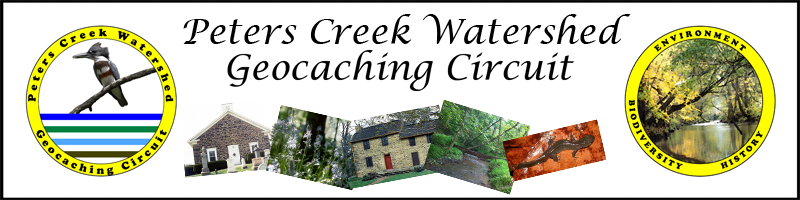
Peters Creek Watershed Geocaching Circuit
Peters Creek Watershed Geocaching Header

Introduction

The Peters Creek Valley has a rich history of human habitation dating back thousands of years. European settlers made their way across the Allegheny Mountains in the mid-1700s. Reminders of their struggles and survival in what was then an untamed wilderness remain throughout the Peters Creek Watershed.

The watershed also contains abundant water resources in the form of streams, ponds and wetlands and harbors significant pockets of biodiversity. The forested steep slopes and floodplains surrounding Peters Creek are crucial to maintaining this biodiversity.

Much of the Peters Creek Valley is underlain by rich coal deposits. Extraction of this natural resource during a time of little or no regulation has led to an environmental legacy of metal polluted streams, dangerous highwalls and gob pile strewn landscapes. Irresponsible logging and development practices have also contributed to excessive erosion and sedimentation within the watershed's streams.

The Peters Creek Watershed Geocaching Circuit is a way to learn about some of the important Biodiversity, Environmental and Historical issues affecting the Peters Creek Watershed while also having a fun outdoor experience.

How To Participate

  • Register to be part of the geocaching adventure. You will be assigned an ID to verify geocache finds.
  • Find the 14 geocaching sites that are part of the circuit using GPS coordinates below.
  • Sign the cache book.
  • Retrieve card from cache, visit website on card and enter ID and geocache site code to verify find.
  • Email peterscreekwsa@verizon.net with questions, suggestions and comments.
  • Be safe out there and have fun!

The Geocache Sites

Geocache Site Longitude Latitude
Peters Creek Cemetery 40.304868N 79.882277W
US Steel Gob Pile 40.299716N 79.899177W
Ravensburg Wetland 40.297521N 79.903143W
Large Distillery 40.297886N 79.911653W
Peters Creek Biodiversity Area 40.281754N 79.944308W
Jacob Beam Cabin 40.332922N 79.976241W
Wright House 40.248294N 80.028688W
Wright's Woods Biodiversity Area 40.243352N 80.032742W
Old Stone Church 40.265627N 79.968419W
Peters Creek Headwaters 40.236458N 80.095867W
Miller Homestead 40.319357N 80.005009W
Sleepy Hollow 40.296130N 80.003572W
Natural Stream Channel Design Project 40.283642N 79.937089W
Greenman Tunnel 40.272162N 79.968169W

Acknowledgements

The Peters Creek Watershed Geocaching Circuit project is supported, in part, by a Spring grant from The Sprout Fund.

geocache logo pcwa logo spring logo